The Mexico - United States Border, 2015
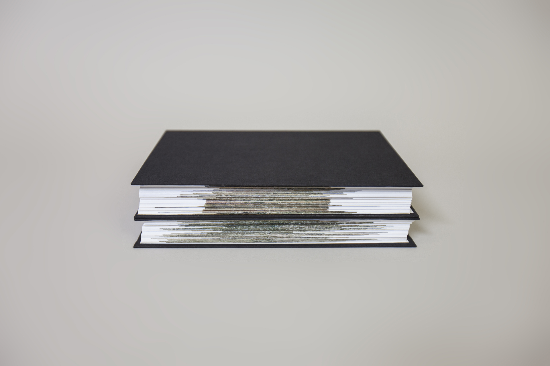
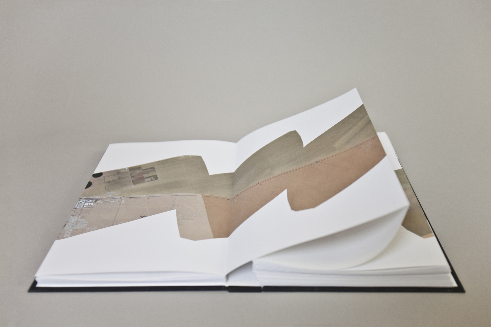
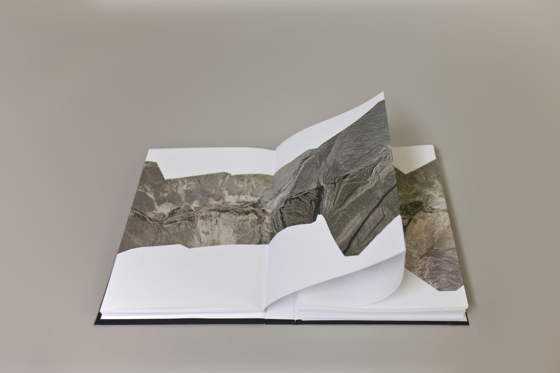
The Mexico – United States Border (East), accordion book, 10 x 1000 in (25,4 x 2540 cm)
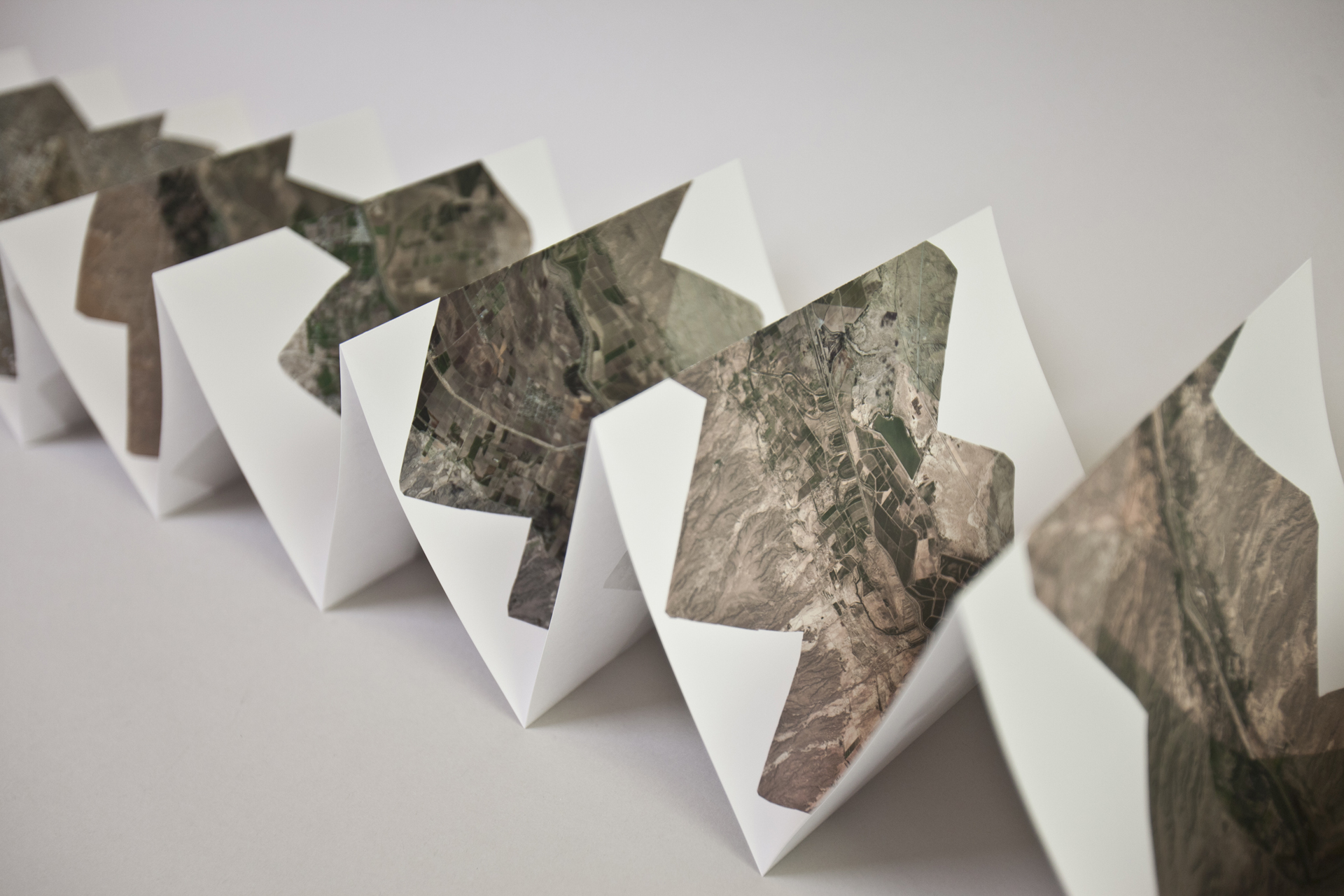
The Mexico – United States Border (West), accordion book, 10 x 1000 in (25,4 x 2540 cm)
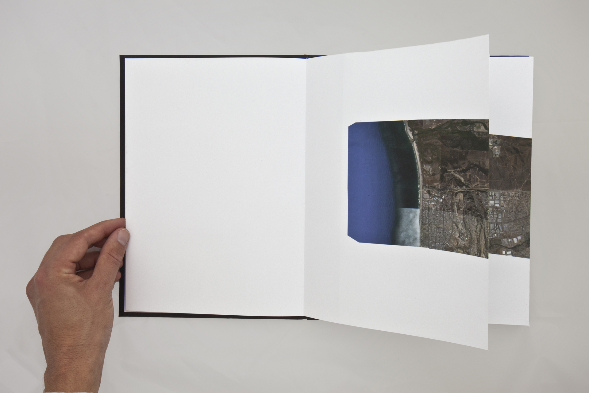
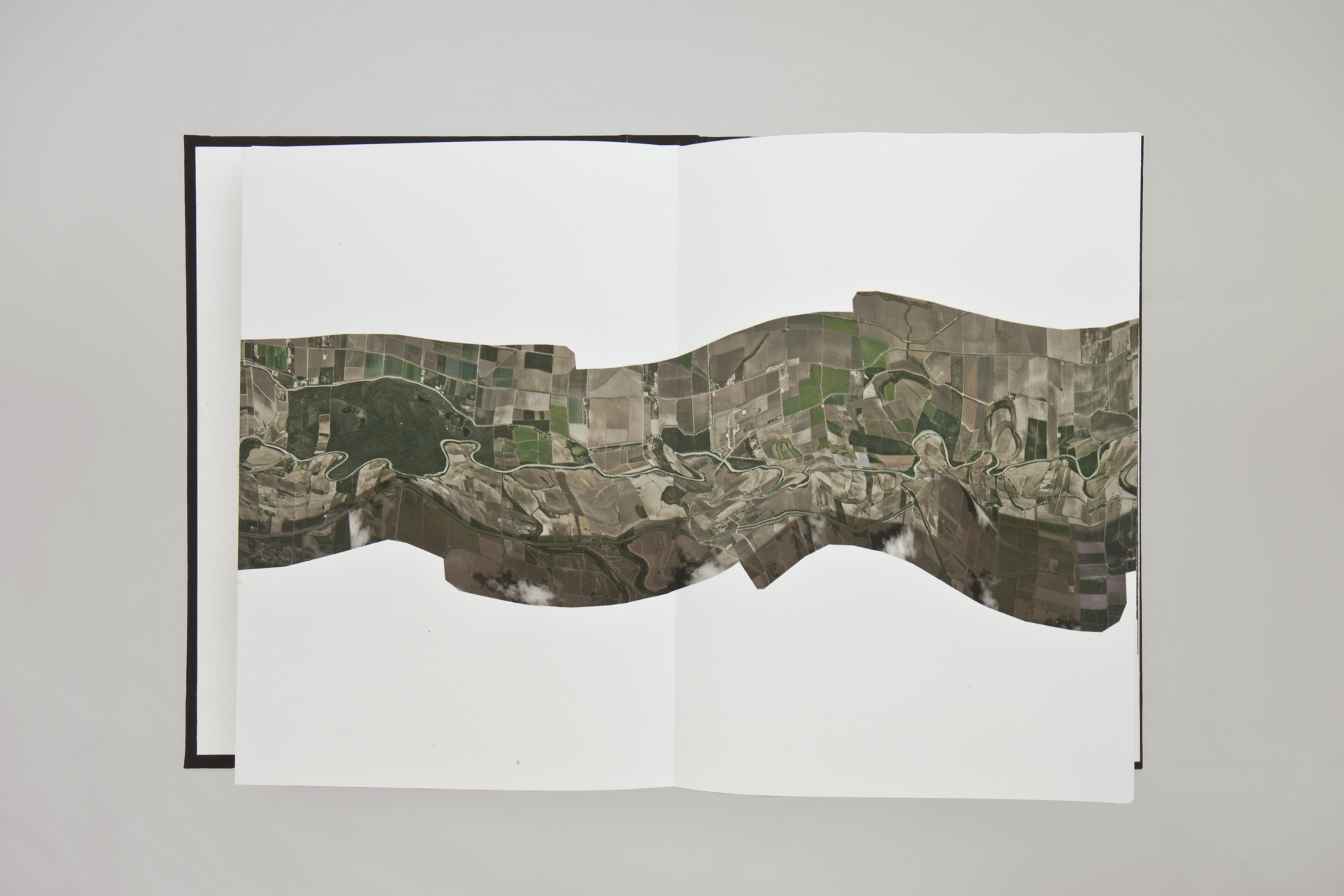
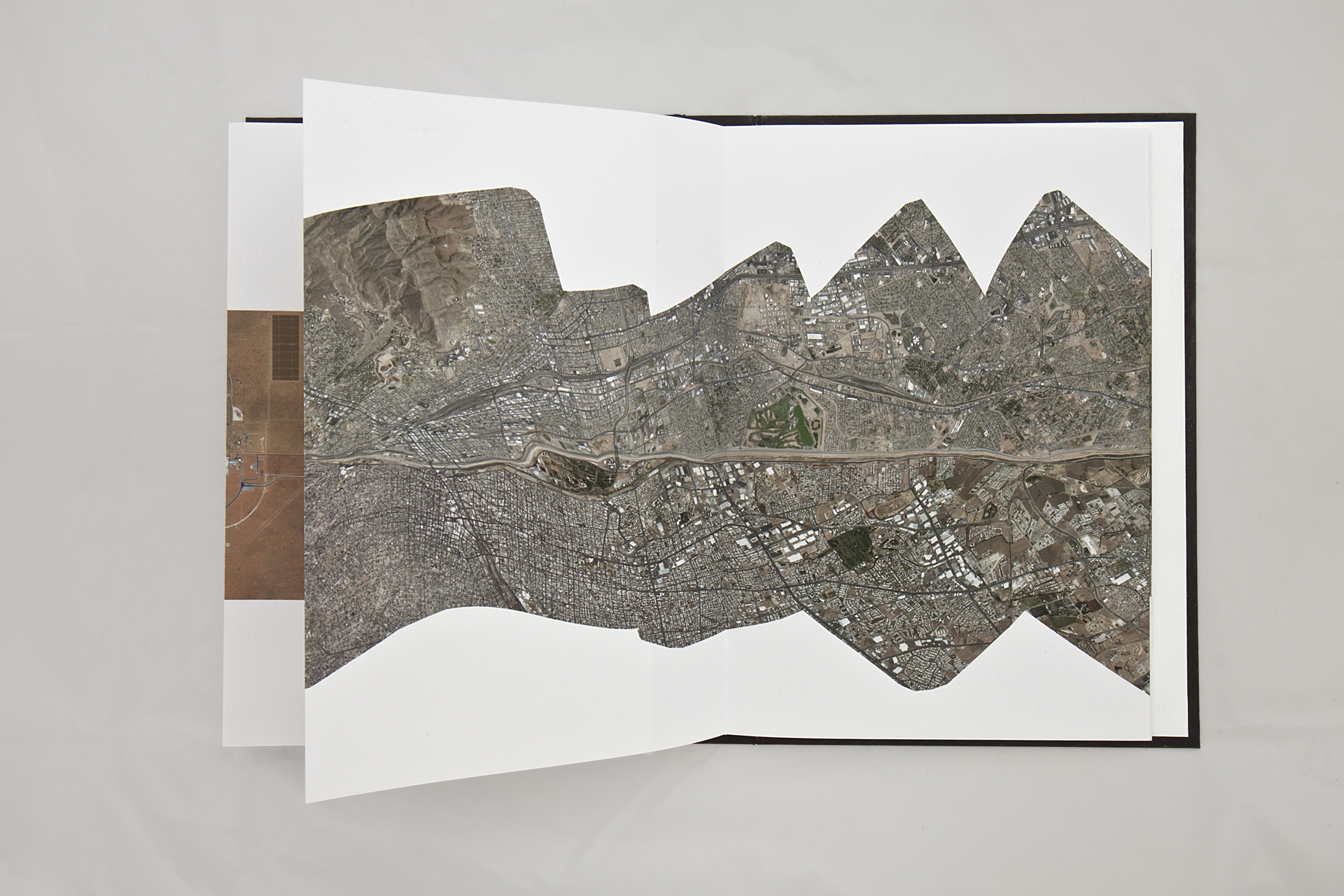
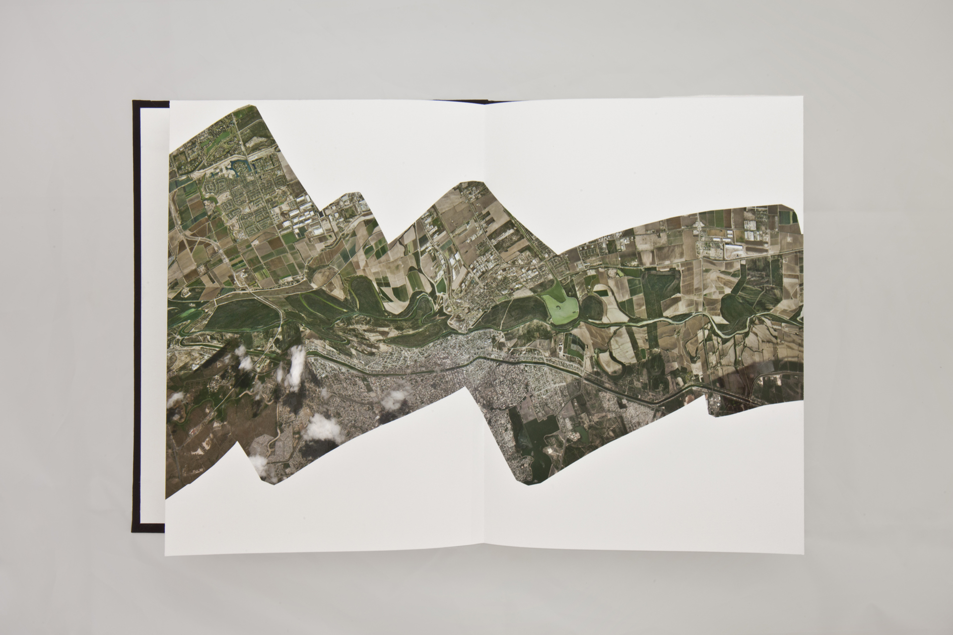
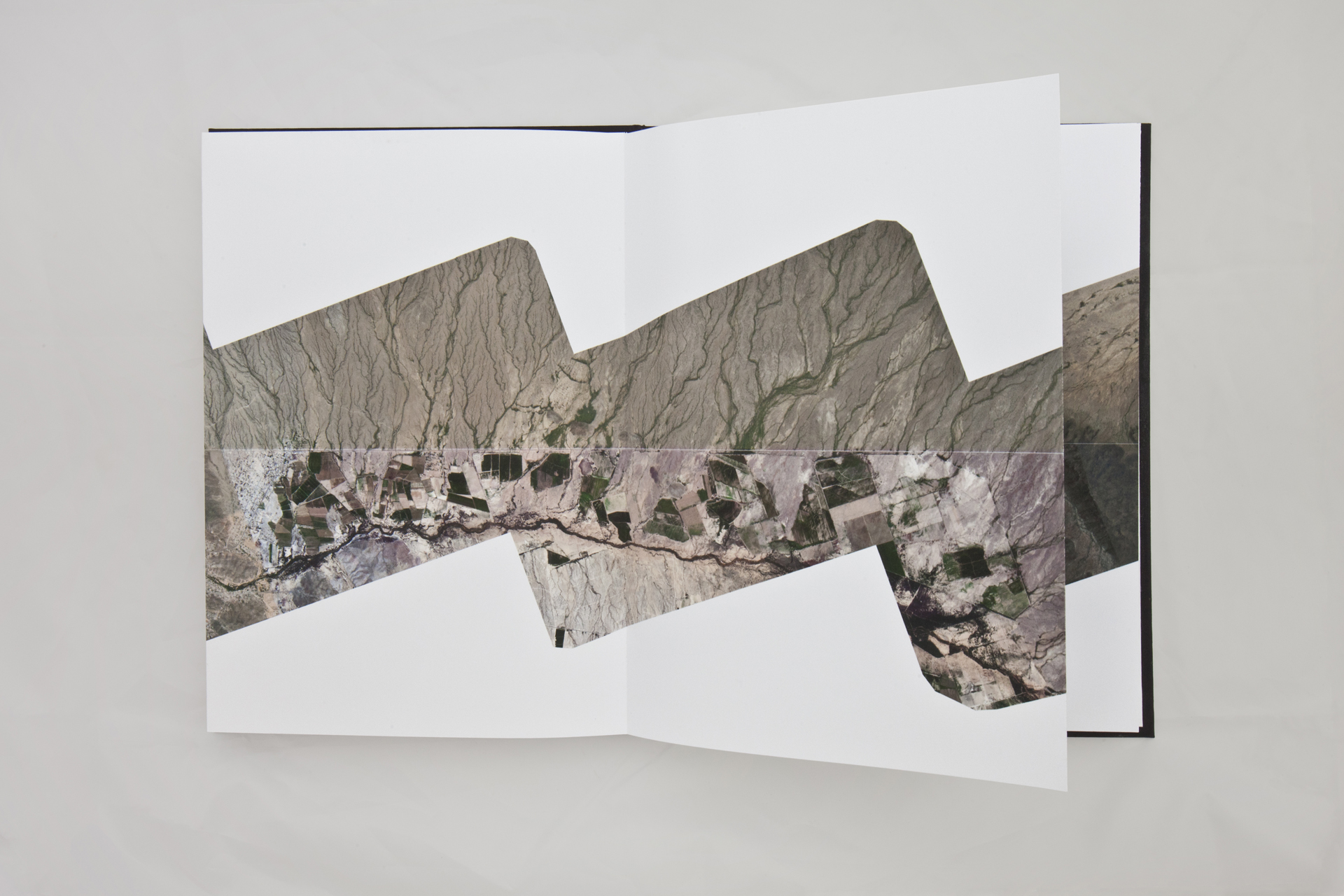
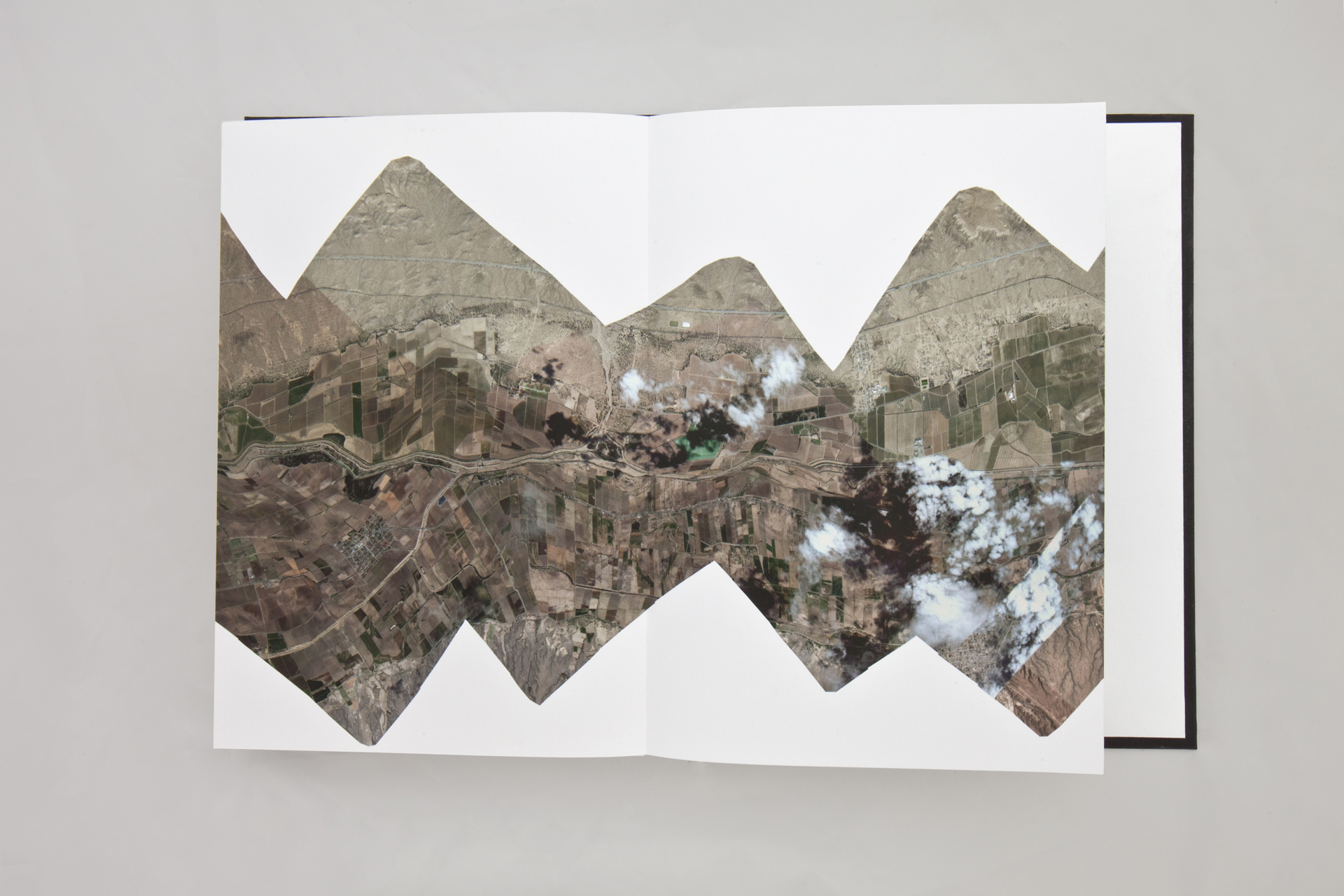
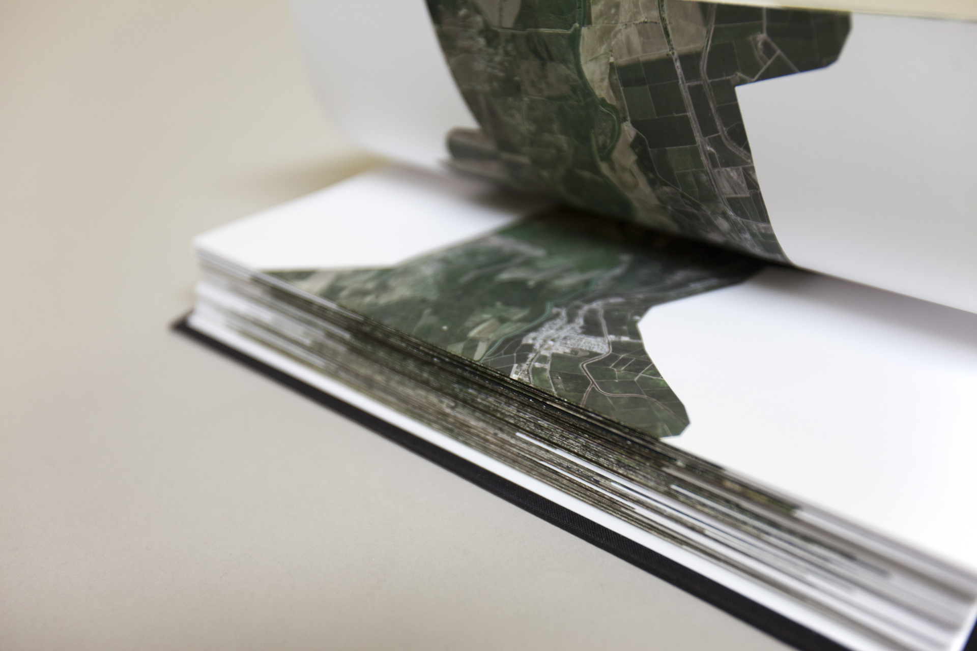
The Mexico – United States Border (East & West) are two accordion books that examine the entire border through Google Maps satellite imagery: in the West from the Pacific coast’s urbanized area between San Diego and Tijuana, eastward to the Colorado River Delta and Sonoran Desert, through the Chihuahuan Desert, then following the course of the Rio Grande to the Gulf of Mexico in the East.
The aerial images are stitched together and straightened along the borderline, confining the nearly 2000 miles into a format of 10 x 2000 inches. The oppressive qualities of the border are here transformed into an oppression by the book format, as well as hardware and software limitations.
It outlines the contested border site – a defensive site for sovereignty, citizenship, the modern nation state – via satellite images, which are brought to us from defensive infrastructure, reconnaissance and territorial surveillance.